
Goldsboro ZIP Coverage
Goldsboro ZIP geography is a postal system, not a city-limit map. Local research verifies 27530 as the principal Goldsboro ZIP and documents Goldsboro postal use for 27533. Goldsboro-area and Seymour Johnson Air Force Base materials also use 27531 and 27534. The official text captured for this project did not provide a complete USPS boundary table or a definitive post-office assignment for every route. Use the table as a cautious routing list, then verify the exact street through USPS.
| ZIP | Areas covered in local sources | Post office or route evidence | Goldsboro postal-route note |
|---|---|---|---|
| 27530 | Goldsboro mailing geography; county and BOE materials use Goldsboro, NC 27530 | Goldsboro result cited in county materials | Check USPS because the mailing route and city boundary can differ. |
| 27531 | Goldsboro-area geography; Seymour Johnson AFB materials use this ZIP | Goldsboro-area route, specific service type unverified | A distinct route, not proof of city-limit inclusion. |
| 27533 | Wayne ROD, Sheriff, and county contacts use this Goldsboro mailing ZIP | PO-box or institutional mailing use requires USPS confirmation | Do not treat a mailing address as a parcel boundary. |
| 27534 | Goldsboro mailing addresses appear in Seymour Johnson AFB materials | Base or near-base route; exact area needs USPS verification | Do not assign it to a particular parcel without an address lookup. |
Nearby Wayne County communities have other ZIPs, but the research did not capture an official full table that lets them be labeled as Goldsboro routes. That gap is a reason to verify an address, not a reason to extend the list by guesswork.
Verify Goldsboro Postal Routes
The USPS address lookup is the authoritative verification step for a Goldsboro address. Its official tool provides ZIP Code by Address, ZIP Code by City and State, and Cities by ZIP Code modes. USPS also cautions that a ZIP result does not confirm that a person or company is at an address. Use USPS-standardized address formatting, run the city-and-state route as a first check, and then use the complete street address before associating a parcel with a postal route.
| USPS control | Input or mode | Required status | What was verified |
|---|---|---|---|
| ZIP Code by Address | Complete address | Address needed for the lookup | Returns the ZIP associated with the entered delivery address. |
| ZIP Code by City and State | City and state | Mode-specific input | Useful for checking the postal place before testing a street. |
| Cities by ZIP Code | Postal code | Mode-specific input | Shows postal place information linked to the ZIP entered. |
| Person or company confirmation | Not a field | Not applicable | USPS says the result does not confirm presence at the address. |
The official USPS lookup screen captured for the Goldsboro ZIP code directory shows the available verification modes.
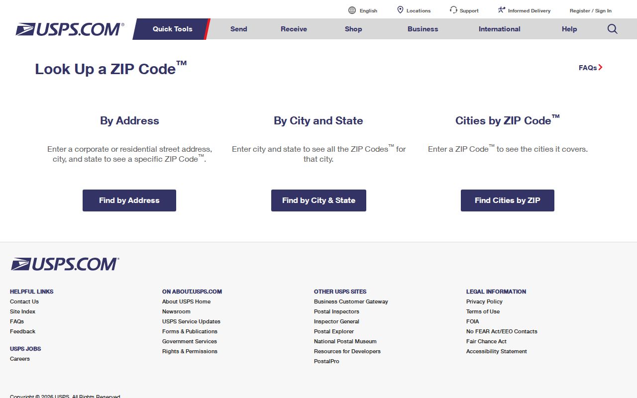
For 27530, 27531, 27533, or 27534, save the exact address and result type rather than treating a generic ZIP list as a boundary map.
Goldsboro ZIP Workflow
A ZIP-focused search needs a sequence because the local portals do not all accept ZIP as a public filter. Wayne Tax exposes owner mailing ZIP in parcel data, but the exact ZIP filter options on its public gateway were not located. Goldsboro GIS exposes OWNERZIP in parcel attributes, while the observed map-search mechanics require a live query. The state voter lookup is a name-and-county tool, not a ZIP-only interface. Use a postal ZIP to validate and narrow the work, then rely on the record system that actually holds the field.
- Validate the complete Goldsboro address in USPS. Record the returned ZIP and whether USPS labels the result as a street delivery, PO box, institutional, or base address when that label appears.
- Open the address in Wayne Tax or the Goldsboro GIS map. Save the property address and the mapped CITY field, along with the parcel identifier.
- Compare the parcel’s physical address with its owner mailing ZIP. They are separate fields and can point to different locations.
- Check municipal-boundary, ETJ, and outside-city-limit layers before choosing a city or county permit or records office.
- For voter information, use the state name lookup or ask Wayne BOE for an existing allowed report. Do not claim a hidden ZIP-only search exists when the portal does not expose one.
Once a ZIP narrows the area to a named road, the Goldsboro street directory provides the address-by-address parcel and deed sequence.
Goldsboro ZIP Record Fields
A property result can carry two ZIP-related ideas with very different meanings. In Wayne parcel data, OWNERZIP belongs to the tax owner’s mailing address. The physical parcel is represented by PROPADDRESS and map geometry. A Goldsboro postal-directory search should not merge those fields into a claim that the owner receives mail at the parcel or that every parcel with a Goldsboro mailing ZIP lies within city limits.
| Field or source | Custodian | What it means | Gap or limit |
|---|---|---|---|
| OWNERZIP | Wayne Tax and GIS parcel attributes | ZIP attached to an owner mailing address | It is not the physical parcel location. |
| PROPADDRESS | Wayne Tax and GIS parcel attributes | Situs, or physical property address | Use map geometry and the city field to add jurisdiction context. |
| GIS CITY and boundaries | Goldsboro GIS | Mapped city and municipal, ETJ, or outside-city layers | Inspect the selected parcel, not merely a postal label. |
| Voter address fields | NC SBE and Wayne BOE | Allowed public registration information | The one-person lookup is not a public ZIP-only search; protected fields remain withheld. |
The Wayne County Real Estate Search begins with a method selector and is a local path to parcel data.
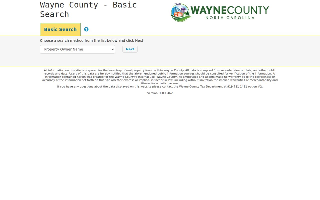
The captured gateway does not display every search option, so the available ZIP filter must be verified live or requested from the custodian as an existing report.
Goldsboro Postal Boundaries
ZIP boundaries and Goldsboro city limits serve different systems. Goldsboro sits within Wayne County, where incorporated city, ETJ, unincorporated county, and postal geography can overlap without matching. Goldsboro GIS maintains municipal-boundary, ETJ, outside-city-limit, addresses, flood-address, and Planning layers. Its GIS contact route is 134 N John St, 8-5, 919-731-1650. Those layers are the local check before selecting a custodian.
County Inspections explicitly excludes Goldsboro from much county permit jurisdiction. That makes a postal code an unreliable shortcut for permit work. An address with the same postal city can route to a city office, an ETJ process, or a county office. Compare the parcel, the CITY attribute, and the relevant boundary layer before submitting a request.
Boundary check. A Goldsboro ZIP supports postal delivery, not a conclusion about city incorporation, neighborhood identity, or which office owns a particular permit record.
Goldsboro ZIP Definitions
Postal and parcel terms should remain separate in Goldsboro research. The tax and GIS identifiers are more stable than a mailing label when an address has changed or a record uses a legal description. For a historical record, compare street, township, county, and the legal description instead of forcing an old rural route or abbreviated post office name into a current ZIP.
- ZIP
- A postal routing code used to direct mail. It is not a municipal-boundary or parcel system.
- ZIP+4
- An added postal detail that helps sort a more specific delivery segment. It does not identify a person.
- PO-box ZIP
- A ZIP used for post-office box or mailing service. Confirm its exact USPS service type before using it as an address fact.
- Unique ZIP
- A ZIP associated with one organization or delivery arrangement. Research did not verify a Goldsboro-specific designation here.
- Carrier route
- A mail-delivery sequence or route. It is not a neighborhood boundary or resident roster.
Goldsboro Postal History
No official source located a Goldsboro ZIP split or realignment year. That negative result matters when an older directory or deed appears to use a different postal description. Bridge the record with the property’s legal description, subdivision plat, GIS address layers, DigitalNC directory years, later criss-cross volumes, and a City Planning or Clerk request. Do not invent a citywide renumbering or postal conversion table.
One verified geography clue is Seymour Johnson Air Force Base, which the base history says Goldsboro annexed on February 7, 1977. Base public-affairs material uses Goldsboro ZIP 27531, while other base or community material uses 27534. That shows why a Goldsboro mailing label can carry an institutional or base connection without resolving a particular street’s city-limit status.
Note: Retain the source’s original ZIP or route in historical notes, then document the present USPS result separately.
Limits of Goldsboro ZIP Searches
A Goldsboro ZIP directory helps validate geography and select the next record system. It cannot establish all people connected with an address. A postal result does not confirm a person or company at the location. Parcel ownership, public voter data, permits, and historical directories each answer limited questions and carry different dates. Sensitive voter fields and protected addresses remain confidential under North Carolina law.
Lawful use. Use Goldsboro ZIP and address records for a personal, lawful purpose. Do not combine postal, parcel, or map data to stalk, threaten, harass, impersonate, or harm another person.
For an address-assignment, E911, or parcel-to-road question, Goldsboro GIS and Planning or Wayne Tax are the local routes to ask about the existing mapped record. A public-record request should identify the existing field or report needed; Chapter 132 does not require an agency to create a new analysis.