
Goldsboro Neighbors by Block
Public sources can describe the block around a Goldsboro address, but no source creates a complete list of people there. The most reliable starting ring is the target parcel. The second ring is the adjoining parcel geometry and the owners or deed references attached to those parcels. A third ring can add dated directory, registration, permit, or public community information. That order keeps a map relationship separate from a claim that someone currently lives at a particular address.
| Source | What It Shows About a Block | Access |
|---|---|---|
| Goldsboro GIS Map Viewer | Parcel shape, nearby parcels, owner field, deed reference, and planning layers | Public map browse and parcel service |
| Wayne Tax real-estate search | Titled owner, co-owner, situs, mailing address, parcel number, tax year, and PRC | Public gateway and Tax counter |
| NC voter lookup and Wayne BOE | Public registration fields for a known person, subject to statutory limits | Individual lookup or a narrow data request |
| WCPL reverse directories | Historical address-to-name and phone entries in uneven year runs | Library and local-history access |
| Police and civic resources | Public program contacts and neighborhood context, not membership lists | Agency and organization contact routes |
Wayne Tax and GIS show ownership and parcel data, not everyone who uses a building. A voter result covers only a person in the registration system, and protected voter addresses are withheld. A directory is an annual snapshot. Community programs show how residents organize, not an address-by-address roll. Goldsboro neighbors are best understood through these separate, dated records rather than a single broad search.
Map Goldsboro Neighbor Parcels
The city Map Viewer does not have a verified one-click neighbors button. The dependable method is visual map browse and parcel queries. Search or pan to the target, select its parcel polygon, then move outward to the surrounding polygons. Goldsboro's parcel layer exposes stable identifiers that make the handoff to Tax and deed records more precise than guessing from postal order. A corner lot, alley, right-of-way tract, or unincorporated pocket can make two nearby street numbers less adjacent on the ground than they look in an address list.
- Open the Goldsboro GIS Map Viewer, find the target address, and confirm that the selected polygon is a parcel rather than a boundary or zoning feature.
- Record the target PIN or REID, PROPADDRESS, DEEDREF, and map date. These fields make it possible to check the same parcel in later systems.
- Click each bordering parcel polygon or zoom along the block. Record only the necessary PIN or REID, OWNERNAME, DEEDREF, and visible parcel context for the stated research purpose.
- Use Wayne Tax's PRC and the Register of Deeds index to check an owner or deed reference. Match legal description, lot, block, or acreage before deciding two records concern the same parcel.
- For a historical question, compare the address with a reverse directory or old city-directory street entry. For a full named-street chain, use the Goldsboro By Street directory.
The process is address to parcel, parcel to recorded owner, and then owner or deed reference to the appropriate custodian. It does not produce a block roster. Save source date, record role, and the layer name before drawing any conclusion about nearby Goldsboro neighbors.
Goldsboro Parcel Field Checks
A parcel check must separate the property address from the owner mailing address. In Wayne's data, PROPADDRESS is the situs, meaning the parcel's location. OWNERADDR1, OWNERADDR2, OWNERCITY, OWNERST, and OWNERZIP are mailing fields for the titled owner. A mailing address can be elsewhere, and it is not proof about every person connected to the parcel. The Wayne Tax result route also exposes owner name, co-owner, property address, land data, parcel number, alternate parcel number, tax year, and a PRC link.
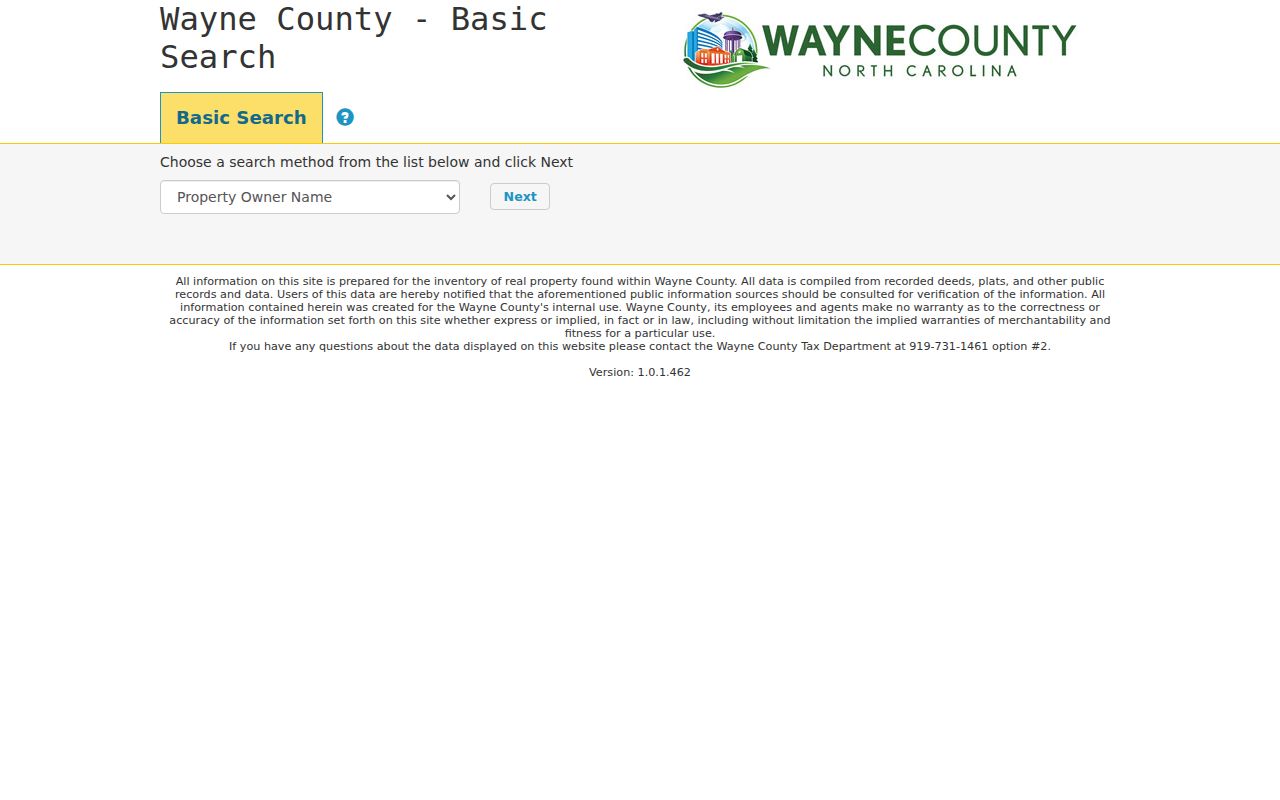
The Wayne County Real Estate Search gateway begins with a search-method selector and warns users to verify its compiled source data.
Use the PRC for property-card detail and save the tax year with any result. The parcel layer can add LEGALDESC, sale year and price, acreage, Neighborhood, CITY, fire district, special-service district, values, exemptions, and geometry. A homestead or exemption code may reflect a defined tax benefit, but it does not create a list of people at the property.
- PIN or REID
- A parcel or real-estate identifier used to distinguish the mapped property from similarly numbered addresses.
- Situs address
- The physical location assigned to the parcel. It may differ from the tax mailing address for the owner.
- Deed reference
- A reference that leads from the parcel to a recorded instrument. It should be checked against the legal description.
- Parcel polygon
- The mapped boundary feature. Confirm it before relying on an adjacent selection or an overlay result.
Goldsboro Neighbor Voter Signals
North Carolina's one-person voter lookup is a confirmation tool, not a street-browser. It searches for a name with first name, last name, optional middle initial, year of birth, county, and status controls. Public fields can include name, residential and mailing address, party, age, precinct, districts, registration date and status, and voter history. Voter history describes participation or method for an election, not ballot choices. A person who is not registered will not appear, and a result does not identify every person associated with an address.
For a narrowly defined Goldsboro block question, Wayne Board of Elections can advise whether an existing public file is available. State law allows selective voter-data requests subject to field restrictions and preparation costs. Wayne's request page lists a $15 base fee for maintained data, $15 per hour for nonstandard work, a $30 reserve, and a 7 to 14 day goal. Request the county, precinct or district, date or election range, fields, format, and delivery method. Do not request protected data.
Note: Public voter fields exclude full date of birth, Social Security number, driver-license data, email, and protected addresses, including Address Confidentiality Program participants.
Goldsboro Neighborhood Resource Routes
Goldsboro has public-facing community routes, but the research found no official current membership or HOA directory. That absence matters. West Oak and downtown planning areas appear in planning and historic-district materials, yet map labels do not establish membership or provide a roster. Goldsboro Neighborhood Crime Watch is an official police program. The 2020-21 civic and fraternal listing is a historical contact source for groups such as the Old Waynesborough Park Commission and NAACP Goldsboro/Wayne, not evidence of current participation.
Neighborhood Crime Watch
Goldsboro Police programs provides the official contact route for the public safety program. A member roster was not located.
Planning Areas
Use the GIS planning, historic-district, municipal-boundary, ETJ, and outside-city layers for place context. Ask the City Clerk for an existing public record if a specific document is needed.
Historical Contacts
Wayne County Historical Association is a route for local history, artifacts, cemeteries, and photographs, not a current people directory.
The Goldsboro Police community-programs page shows the public-facing Neighborhood Crime Watch and Operation ID routes.
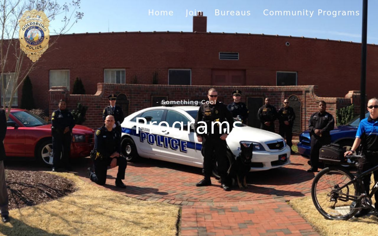
These programs offer civic contact and safety information. They do not disclose who lives in each building. For a church, civic group, or block-watch lead, ask for a public contact or published history instead of requesting private member information.
Goldsboro Block Context Layers
Several GIS layers explain why parcels near one another may have different record routes. The Planning folder includes zoning, historic district, flood-address, ETJ, municipal-boundary, outside-city-limit, development, dilapidated-structure, damage, noise-contour, and zoning-case layers. These help establish location context. They do not reveal the names of everyone using a building. A Goldsboro mailing address can also sit near a county or city jurisdiction line, so the map should be checked before choosing an inspections or permit office.
Historic context can be useful without turning an old record into a modern contact list. Compare a past address with a WCPL criss-cross volume, a directory street entry, newspaper material, or the 1885 Goldsboro Sanborn map. Then use current GIS to locate the matching parcel. Record the edition, page, map year, and source date. A historic-district label or a directory entry explains the period and place, not a present-day household.
Goldsboro Neighbor Source Comparison
Official records and commercial neighbor-lookup products answer different questions. Official sources identify a custodian, record type, date, and field limits. Commercial products often combine public filings, address histories, marketing information, and other data into one profile. That category can be stale, merge people with the same name, omit protected records, and offer no way to correct the underlying government record. Treat a product result as a prompt to check the custodian, not as a substitute for it.
| Source type | Strength | Limit for Goldsboro neighbors |
|---|---|---|
| Official parcel, tax, deed, voter, and court records | Names the custodian, shows a record date, and can be checked against the underlying file | Each source covers a defined role or field set, not every person nearby |
| Commercial neighbor-lookup category | May supply a lead to test with a public office | May be stale or conflated, cannot reveal protected fields, and does not correct official records |
For a deed notice or property-profile solicitation, use the official Register of Deeds or Tax route before paying a private sender. NC DOJ warns about official-looking recorded-deed mailers. Check the office name, domain, published phone number, document need, and official fee through the custodian rather than a callback number on a letter.
Goldsboro Neighbor Privacy Limits
North Carolina public-record access is limited by the field and custodian. Chapter 132 does not override voter confidentiality, vital-record restrictions, juvenile and sealed court rules, or federal DMV protections. The NC Address Confidentiality Program shields the actual address of qualifying participants who use a substitute address. Do not try to reconstruct a protected address from nearby records. Utility customer, delivery, and private membership information are not a public parcel layer.
Lawful use. Goldsboro neighbors records are for lawful personal research, community history, civic awareness, and safety planning. Do not use public information to watch, stalk, harass, threaten, or intimidate anyone.
If a parcel or map field looks wrong, send the PIN or REID, date, and exact field to the proper custodian. Tax or GIS handles parcel data; the Register of Deeds handles recorded-index questions; Board of Elections handles registration; and the Clerk handles court records. Ask whether an existing record can be inspected or whether a redacted version is available. A focused request protects both the accuracy of the Goldsboro neighbor research and the privacy limits that the offices must enforce.